carnivore mari  
MANAGEMENT ACTIONS
° Management Plan
   - Realising the GIS database with persons and institutions responsible for land management
   - The Landowners Directory Committee component
° Electric fences
   - Composition of electric fences
   - Functioning principle for the electrical protection system
   - Assembling the electric fences
   - Maintaining the electric fence
   - Practical advices
   - Electric fence benefits
   - Implementing the sheepfolds electrical protection system
°Intervention Unit
   - Rehabilitation and Monitoring Centre
   - Animal Rescue Mobile Unit
° Monitoring of large carnivores & prey
   - Assessing large carnivores relative abundance using hair snares
   - Assessing large carnivores relative abundance using remote cameras
   - Assessing the large carnivores populations based on animals tracks, signs and scats
   - GPS Localization (Global Positioning System)
   - VHF Localization (Very High Frequency)
° Natura 2000

GPS Localization (Global Positioning System)

   It is realised with the help of collars that have mounted a system that memorises more data regarding the position, altitude, etc at which the animal is found. Localisation can be made with the help of signals received from satellites. This method is more efficient due to the large quantity of data that can be obtained, such as: activity, temperature, mortality sensory etc. 
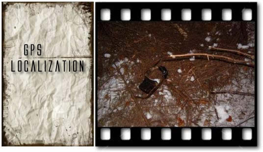
All these data are stocked in the animal’s collar, and which automatically breaks when the battery discharges. After the collar is recovered, it is connected to a data collecting device, and ulterior these are worked with special programs, which will accentuate the home range of the animal, and even the routes used by it.
   Obtained data are then correlated with data regarding the prey, vegetation type, human activities, climatic data, etc.

© 2010 APM Vrancea